Click image for original full-size image with no overlay text
| Previous image | Next image | |
|
Click image for original full-size image with no overlay text |
||
Image information
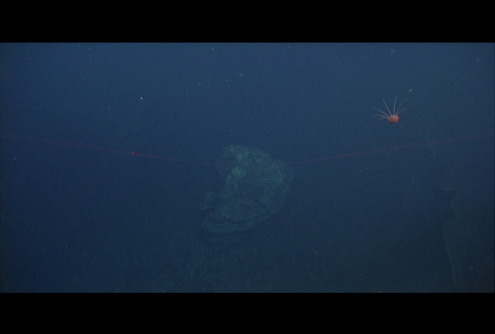
Copyright 2013 Monterey Bay Aquarium Research Institute
DocRicketts/2013/docr522/02_07_53_29.png
Sat Aug 17 16:31:44 2013 GMT (local +7)  esecs=1376757104
GIS map (linda): comment map is showing the vehicle to the west of the fissure
   that we believe it is located.


File      = C:\Documents and Settings\docricketts\VARS\data\Doc Ricketts\images\0522\02_07_53_29.png (MAIN)
EPOCHsecs = 1376757105
LocalTime = Sat Aug 17 16:31:45 2013
UTCTime   = Sat Aug 17 16:31:45 2013
YYYYJJJ   = 2013229
AnnTC     = 02:07:53:29
SnapTC    = 02_07_53_29
Annotation=
Vehicle   = DocRicketts
Dive#     = 522
video_uri = urn:tid:mbari.org:D0522-03HD

Lat= 45.949843 (edited)
Lon= -129.985704
Depth= 1518.88 m  Temp= 2.424 C  Sal= 34.527 PSU  Oxy= 0.716 ml/l  Xmiss= 84.12%